Languages:
Alba Iulia
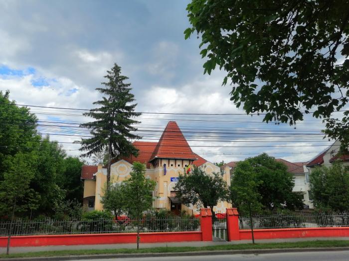
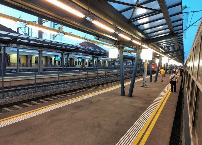
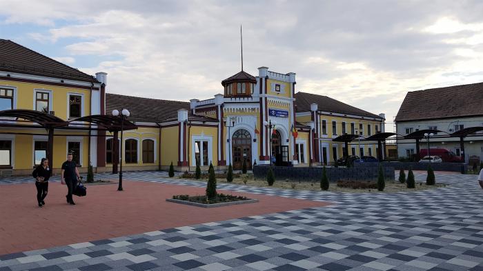
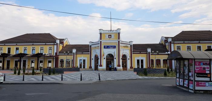
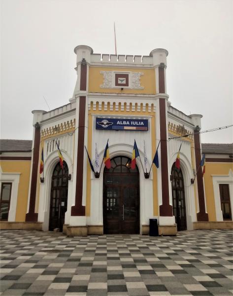
Alba Iulia (Romanian pronunciation: [ˌalba ˈjuli.a], formerly Bălgrad; (Hungarian: Gyulafehérvár; German: Karlsburg, formerly Weißenburg; Latin: Apulum; Medieval Latin: Alba Iulia, Carlopolis; Ottoman Turkish: Erdel Belgradı) is a city in Alba County, Transylvania, Romania with a population of 58,681, located on the Mureş River. Since the High Middle Ages, the city has been the seat of Transylvania's Roman Catholic diocese. Between 1541 and 1690 it was the capital of the Eastern Hungarian Kingdom and the latter Principality of Transylvania. Alba Iulia is historically important for Romanians, Hungarians and Transylvanian Saxons.
Four villages are administered by the city: Bărăbanţ, Miceşti, Oarda and Pâclişa.
Alba Iulia (Romanian pronunciation: [ˌalba ˈjuli.a], formerly Bălgrad; (Hungarian: Gyulafehérvár; German: Karlsburg, formerly Weißenburg; Latin: Apulum; Medieval Latin: Alba Iulia, Carlopolis; Ottoman Turkish: Erdel Belgradı) is a city in Alba County, Transylvania, Romania with a population of 58,681, located on the Mureş River. Since the High Middle Ages, the city has been the seat of Transylvania's Roman Catholic diocese. Between 1541 and 1690 it was the capital of the Eastern Hungarian Kingdom and the latter Principality of Transylvania. Alba Iulia is historically important for Romanians, Hungarians and Transylvanian Saxons.
Four villages are administered by the city: Bărăbanţ, Miceşti,...
 Reduce description

Recent city comments: